
Charlotte sees 70-degree highs before Saturday nights drop to 30
A cold front arrives Thursday with showers, shifting the area from a mild midweek to a sharp drop in temperatures by the weekend.
By Kaito Sokolov ·
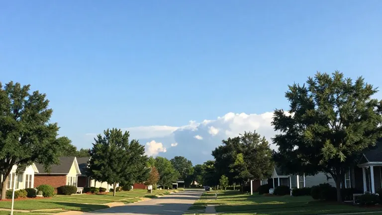
The Charlotte area enters the week with dry conditions and rising temperatures. Forecasts point to a stable start before a weather system moves through late in the week. This shift will lower highs and create colder overnight conditions.
Sunny skies cover Sunday, with temperatures reaching 70 degrees. Winds remain light, allowing overnight lows to settle near 40 degrees. Frost is possible in specific areas, particularly along the I-40 corridor. Residents in those zones should protect sensitive plants before dark. Monday follows a similar pattern, holding near 70 degrees with another 40-degree low. Frost may return along the I-40 corridor that night.
The mild weather extends through midweek. Tuesday and Wednesday both expect highs around 70 degrees. Rain chances stay low through most of Wednesday. This dry period offers a window for outdoor activities before the system arrives. The stability ends when an approaching cold front reaches the area on Thursday.
The front brings a 30% chance of afternoon showers to Charlotte. Temperatures hit 70 degrees before the system passes through Thursday night. Highs drop to 60 degrees on Friday and Saturday. Saturday night brings the coldest temperature of the stretch, near 30 degrees. Planners for weekend events should pack warmer clothing to match the forecast.
Higher elevations near the North Carolina and Tennessee border face a potential for snow later in the week. The exact timing and amount of precipitation remain subject to change. Meteorologists will update the outlook as the system develops. The current forecast stands as of this morning's release.