Charlotte Braces for Midweek Rain After Warming Trend
Temperatures will exceed seasonal norms by up to 10 degrees before a frontal boundary brings showers and thunder by Thursday.
By Kaito Sokolov ·
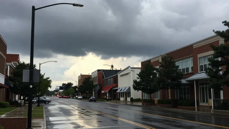
Rain is set to return to the Charlotte region late Wednesday night as a low-pressure system moves in from the west. The precipitation will mark the end of a dry, warm stretch that begins Monday and lasts through Tuesday evening.
WBTV meteorologists report that high pressure will shift offshore into the western Atlantic starting Monday. This change will alter wind patterns and initiate a steady rise in temperatures. Residents can expect highs in the lower 70s on Monday under partly cloudy skies. The warming trend will continue, with temperatures reaching the middle 70s on both Tuesday and Wednesday.
These readings are five to 10 degrees above the typical early November average. Commuters should anticipate dry and pleasant conditions for the next two workdays. Sunday will feature a cooler, cloudy start to the month, with temperatures topping out in the upper 60s. Northeast winds will blow at about 10 mph, and the chance of a stray shower remains low at 20%.
The weather pattern shifts as a frontal boundary slides in from the west late Wednesday night. Rain chances increase to 50% on Thursday, making showers likely. While a few rumbles of thunder are possible, forecasters do not anticipate widespread severe storms at this time. The system will move quickly, reducing rain chances to around 20% by Friday.
Warm temperatures will linger after the front passes. The region is expected to remain near 70 degrees into next weekend. This unseasonable warmth follows the breakdown of a cold air damming pattern that kept early November cooler than usual. The forecast indicates a transition from the current stable conditions to more volatile weather by the end of the workweek.