
National Weather Service forecasts up to six inches of rain for South Texas
Storms will target the Edwards Plateau and Rio Grande corridor this weekend, bringing cooler temperatures and isolated flooding risks.
By Jonathan Ramirez ·
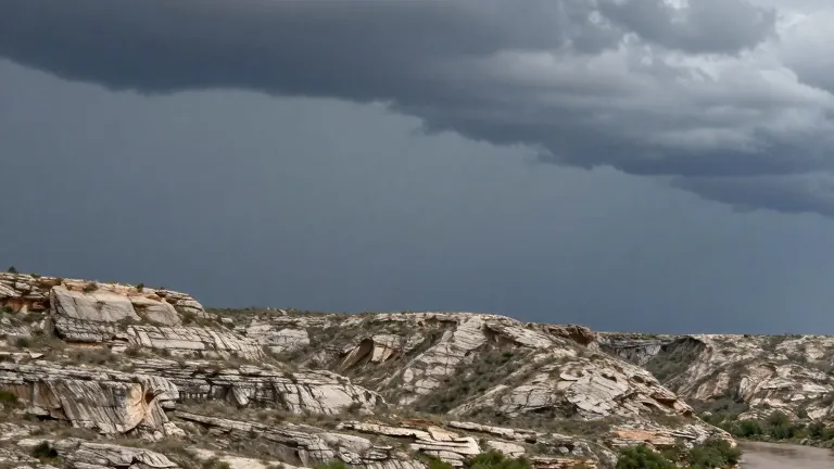
The National Weather Service predicts heavy rainfall for the western part of South Texas through Friday. Isolated areas may receive up to six inches of precipitation, creating conditions that could trigger localized flooding.
The forecast identifies a specific corridor as the primary target for the storms. This zone extends across the southern Edwards Plateau and follows the Rio Grande. Residents in these areas should generally expect two to four inches of rain.
Rainfall amounts will decrease as the system moves east. The Hill Country and nearby regions are projected to receive between half an inch and one and a half inches. Precipitation tapers off quickly east of Interstate 35 and across the coastal plains.
The incoming cloud cover will also lower temperatures across the region. Highs will remain mostly in the 70s Fahrenheit. Parts of the Hill Country and the southern Edwards Plateau could see highs drop into the 60s.
The weather pattern remains active beyond the weekend. A cold front is expected to move through the region early next week, which may bring a new round of rain.